
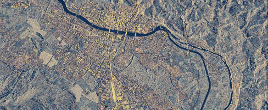
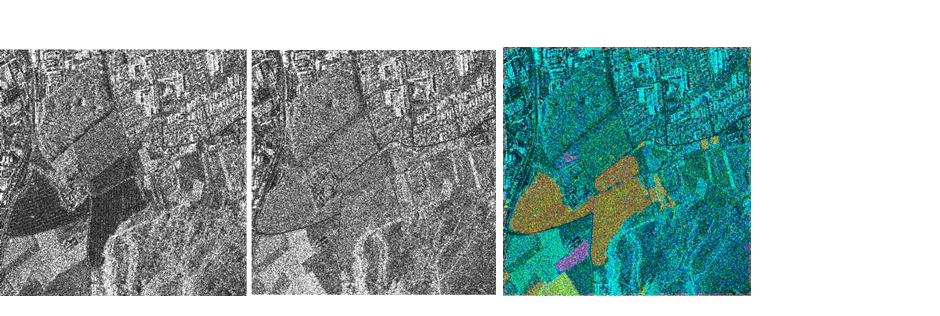
In the Signal Processing and Remote Sensing Laboratory, we analyze Synthetic Aperture Radar (SAR) images. Radar images require a source of electromagnetic waves to be generated. SAR images are generated by sending a frequency-modulated signal from the source to the receiver. Radar images are used to detect changes, automatically extract information, determine movements, and detect soil moisture.
Change detection
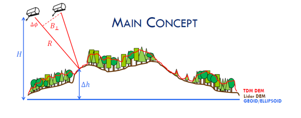
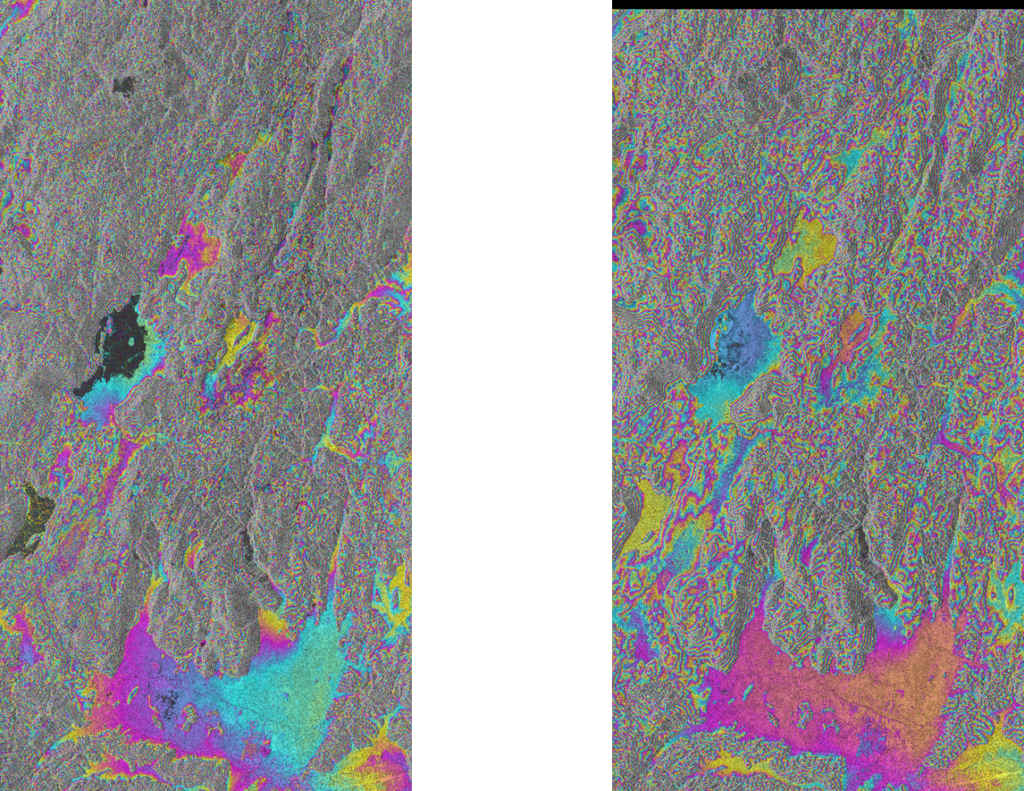
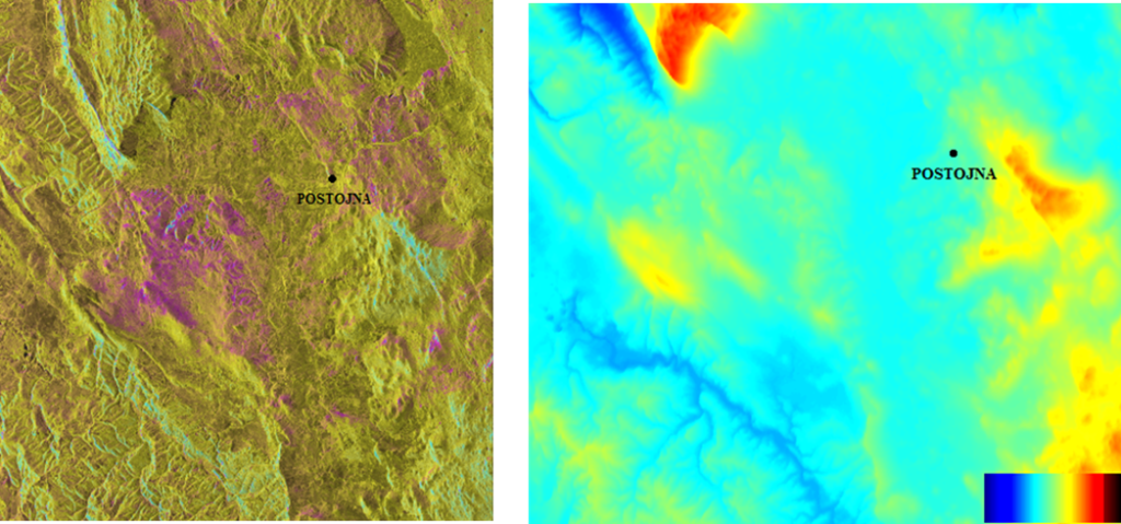
SAR images can be used to record the situation before and after an event. Based on the processing of both images, changes can be determined. Figure 2 shows a block diagram where we can estimate the height of an object before and after an event. An example was used in 2015 to estimate the height of forests.
Student Ultrasonic SAR Sensor
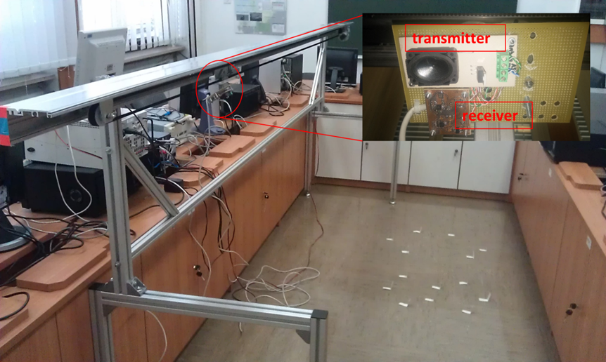
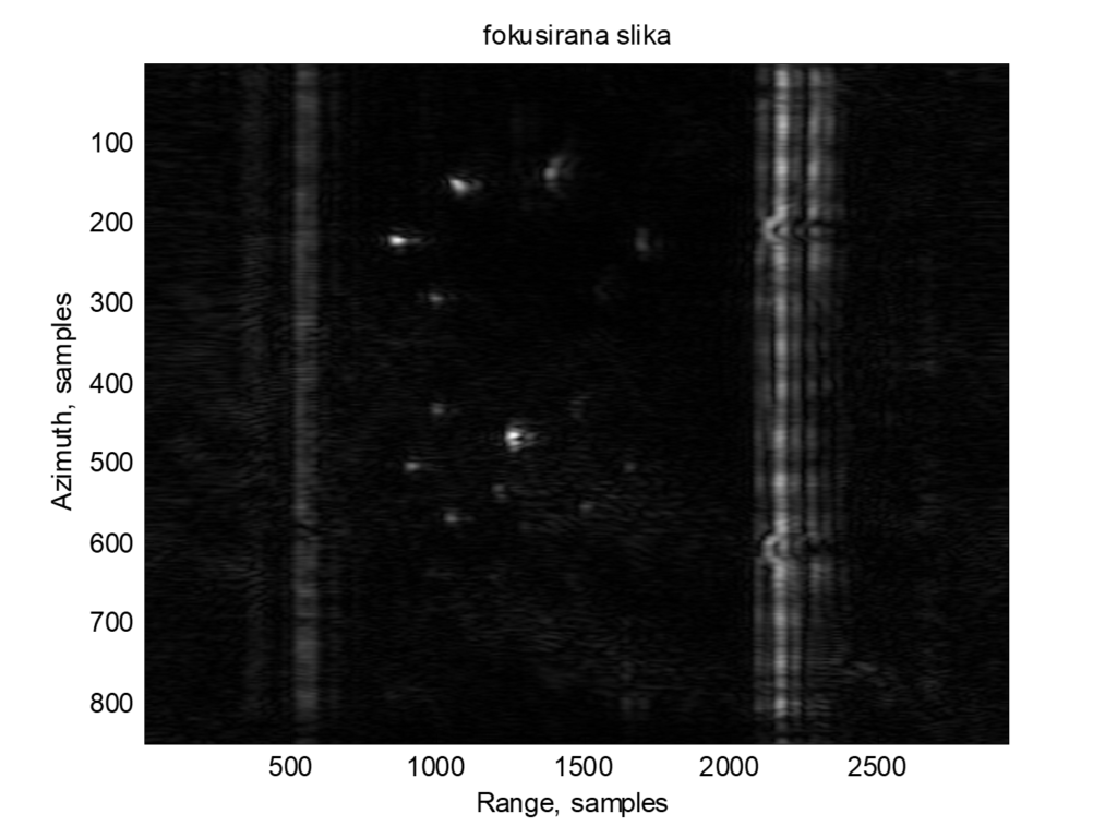
We created an ultrasonic SAR sensor with students. We used ultrasound to generate a 50kHz frequency modulated signal and used SAR focusing.
 English
  Slovenian