
In this project, we assessed soil moisture using SAR images. SAR images were obtained through JAXA, which markets the ALOS-2 satellite. The ALOS-2 satellite provides SAR images in the 1.234 GHz or L-band frequency range and a ground resolution of 3 meters. SAR images from this satellite are acquired in all 4 polarizations and allow for automatic classification according to reflectance type and soil moisture assessment.
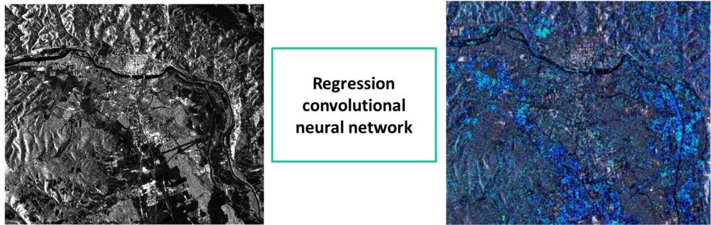
Figure 1 shows a block diagram of soil moisture estimation. The input to the convolutional neural network is satellite images. The goal is to determine soil moisture using supervised learning. For this purpose, the SAR image is first processed as shown in Figure 2, i.e. it is calibrated and placed in a geo-information system and speckle noise is removed. With the help of other representations, such as the Freeman representation of the SAR image, which represents the types of reflection from the Earth's surface, we use them as inputs to the convolutional neural network, which is shown in Figure 3.


At the same time as the satellite flies over Maribor, we are performing measurements on the ground using the humidity sensor shown in Figure 4.
We present the estimated moisture points in a geo-information system and suggest potential wet zones to the client. The client then carries out excavation and eliminates water leakage from the water supply system.

