
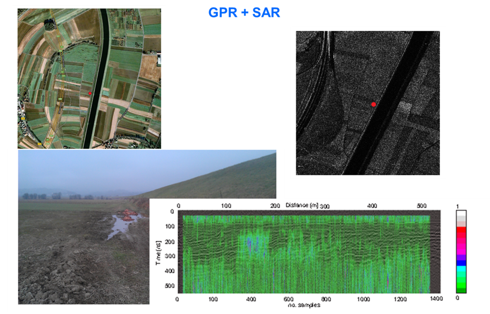
Using SAR and GPR sensors, we can estimate the soil moisture below the Earth's surface. Figure 1 shows an optical and SAR image and a radargram captured by GPR. By fusing the data, we were able to estimate the soil moisture below the surface.
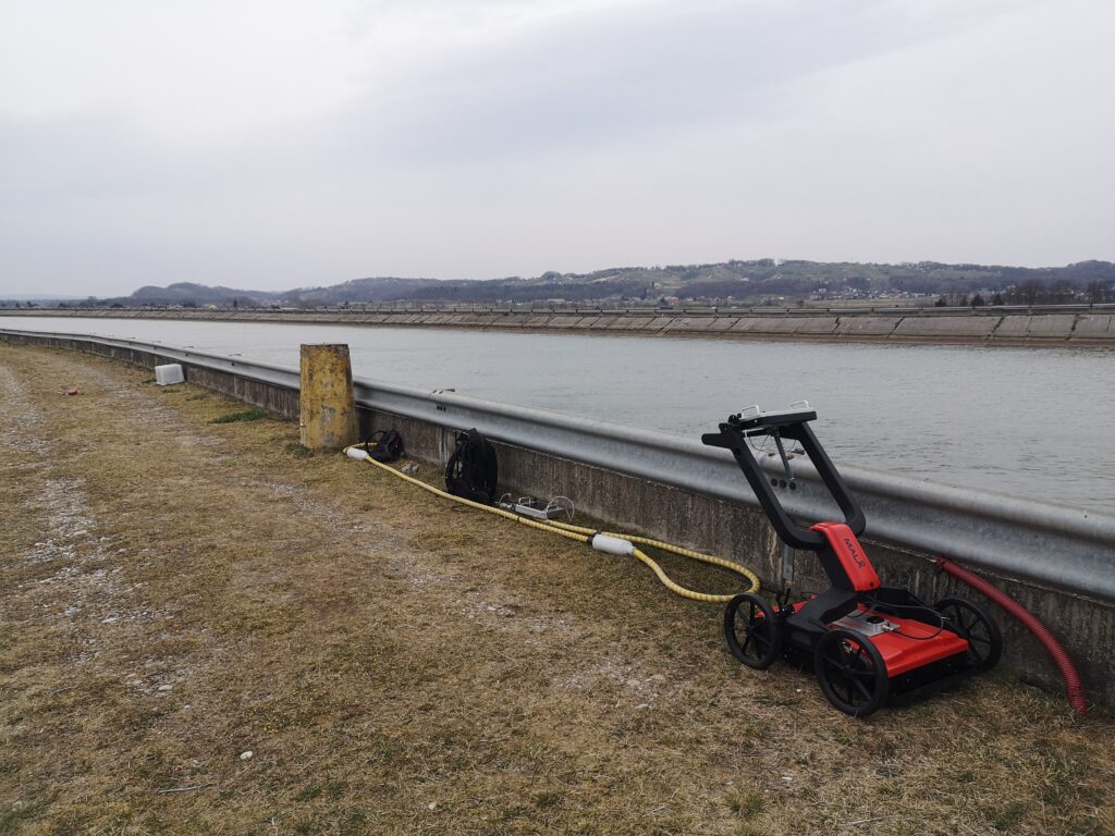
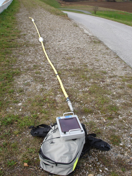
GPR data can be acquired using a ground penetrating radar that can operate at different frequencies: 50MHz, 250Mhz and 500 MHz. The two ground penetrating radars are shown in Figure 2.
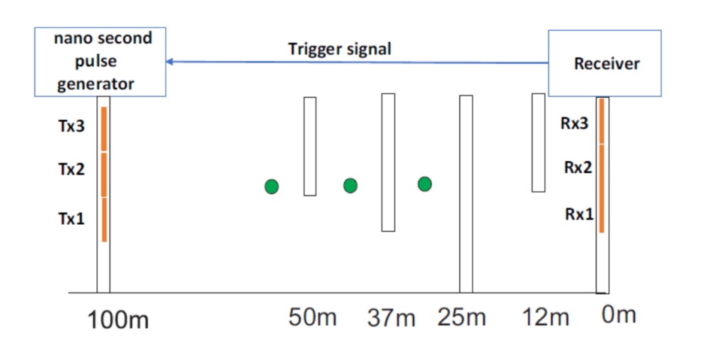
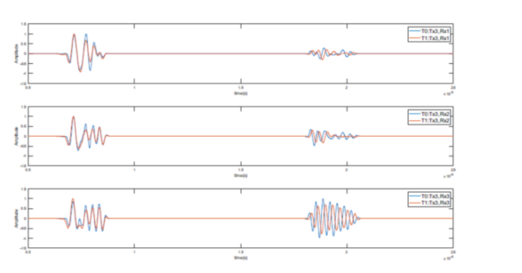
We conducted an experiment to estimate the moisture content between boreholes spaced 100 m apart, as shown in Figure 4. For this purpose, we built our own ground penetrating radar based on a Marx generator and used a neural network to estimate the soil moisture content. The time courses of the signals obtained from the ground penetrating radar, which we used to estimate the soil moisture content between the boreholes, are shown in Figure 5.
 English
  Slovenian