01.4 · ESA research project
Estimating water pipeline leakage from SAR images
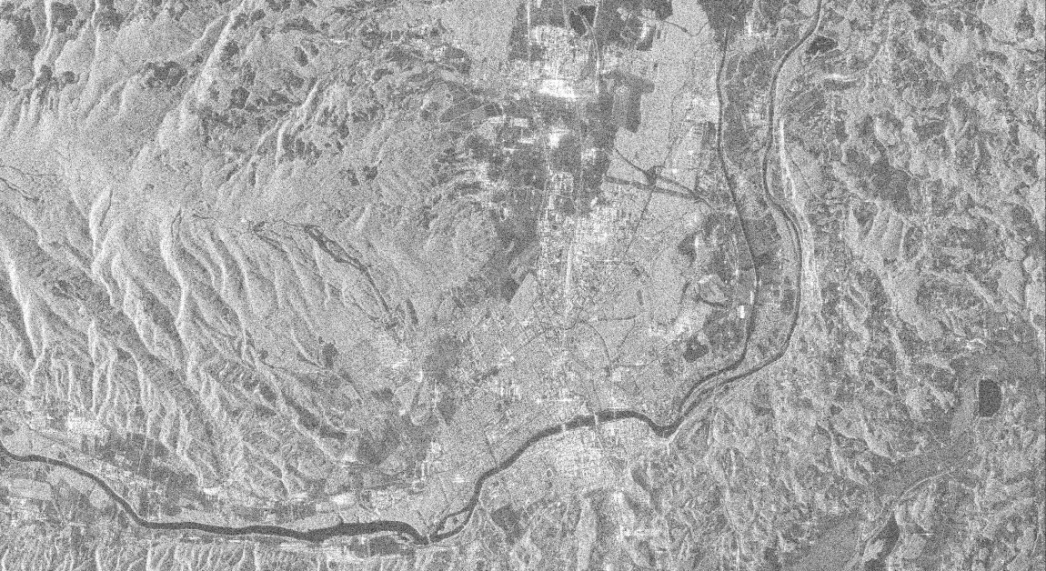
Using polarimetric radar images from the ALOS-2 satellite, we look for places where water leaks from buried water pipes – to survey the whole network at once.
About the project
Water supply systems lose a large share of their water through leaks in buried pipes, and most of these locations are invisible on the surface until the failure becomes large. Acoustic sensors, pressure measurement and GPR find leaks reliably, but only on short sections, so they are not suitable for surveying an entire city.
Satellite SAR images regardless of weather and daylight and covers the entire network at once. In the L-band the signal is sensitive to changes in near-surface soil permittivity caused by water leaking from pipes. We tested the method on the water supply network of Maribor (Mariborski vodovod), about 1,800 km of pipes, using polarimetric images from the ALOS-2 satellite.
How it works
- Acquisition: the ALOS-2 satellite (PALSAR-2) images the area in the L-band in all four polarisations (HH, HV, VH, VV); the images are radiometrically calibrated.
- Filtering with the UTILIS model: contributions of solid objects and surface roughness are removed from the backscatter. The unknown model coefficients are determined by a Kolmogorov–Arnold network (KAN).
- A multiscale dual-branch attention network combines the filtered backscatter, the coherency matrix elements and the polarisation ratios and produces a leakage probability map.
- Comparison with classic models of soil moisture (Oh, Dubois, IEM, Freeman–Durden): these estimate moisture but do not locate the leaks.
The result is a pre-selection of suspicious network sections, where the water utility then searches for faults in the field.
| Type | Research project |
| Funding | ESA (European Space Agency) |
| Satellite | ALOS-2 PALSAR-2 (JAXA) |
| Band | L |
| Polarisations | HH, HV, VH, VV |
| Area | Maribor, water supply network |
| Methods | UTILIS model, Kolmogorov–Arnold networks, multiscale attention network |
| Article | A. Hanzić, D. Gleich, A. Sarjaš: Synthetic Aperture Radar Data-Based Leakage Detection from Water Pipeline Networks using Multiscale Dual-Branch Cross-Attention Encoder and Kolmogorov–Arnold Networks, submitted to Remote Sensing. |
| Previous work | B. Pongrac, D. Gleich: Regression Neural Network for Soil Moisture Estimation, APSAR, 2021. |