01.2 · Research project · NATO SPS
Searching for buried explosives from the air
A miniature ground-penetrating radar on an unmanned aerial vehicle flies over the terrain and reveals objects below the surface.
About the project
A miniature ground-penetrating radar on an unmanned aerial vehicle. SAR and microwave tomography reveal the shape and size of a buried object, and machine learning classifies it.
The project develops advanced imaging techniques with ground-penetrating radar (GPR) using miniature, lightweight radar devices on unmanned aerial vehicles. Microwave tomography provides additional information on the object's shape, size and dielectric permittivity, but requires multiple measurements. We consider two cases: a single vehicle carrying the transmitter and receiver (multi-monostatic mode), and two vehicles carrying the transmitter and receiver in bistatic mode.
How it works
- Flight: an unmanned aerial vehicle with a GPR flies over the area and collects reflections from the ground.
- SAR imaging and microwave tomography reconstruct a subsurface image from the measurements; polarimetric properties help describe the objects.
- Machine learning analyses the radar data and detects and classifies buried objects.
| Type | Research project |
| Programme | NATO SPS (Science for Peace and Security) |
| Field | Radar signal processing |
| Sensor | Miniature ground-penetrating radar (GPR) on a UAV |
| Methods | SAR, microwave tomography, polarimetry, machine learning |
| Modes | Multi-monostatic, bistatic |
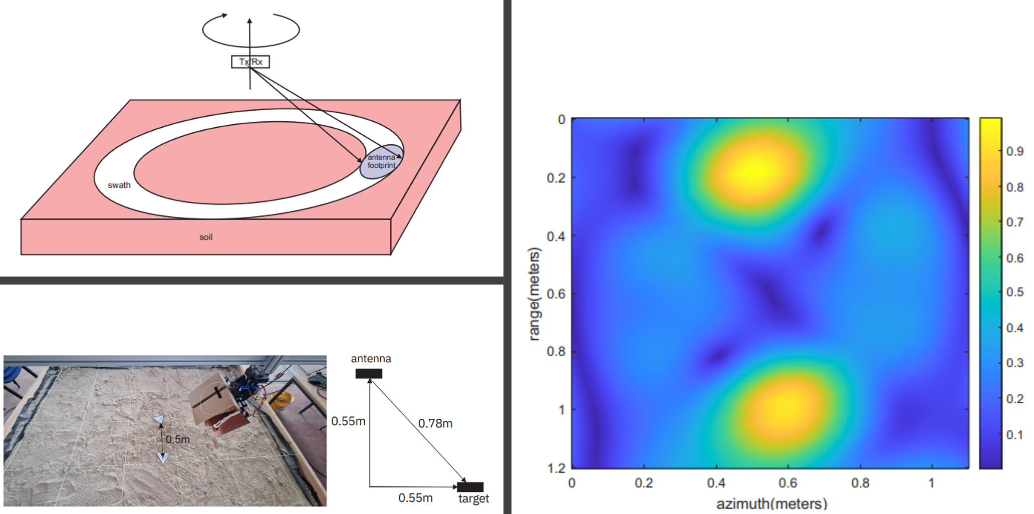
Laboratory measurement: a buried mine
Before field flights we test the methods in the laboratory. The GPR antennas move over a sandbox with a buried mine, and the lower part of the video shows the radargram in real time.
The upper horizontal lines are the reflection from the sand surface. As the antennas approach the mine, a characteristic hyperbola appears – its apex lies exactly above the object, and its curvature depends on the wave velocity in the ground.